Advanced Technology Proving Ground
Savannah River National Laboratory
Testing and Evaluation Capabilities
Located within the boundaries of the Department of Energy’s 310-sq. mile Savannah River Site, Savannah River National Laboratory’s testing demonstration range supports testing and exercise activities year-round. The ever-evolving testbed applies scientific and engineering capabilities to meet national security challenges while providing unique opportunities to test new ideas and concepts in a secure environment.
Within the secured boundary of SRS are a variety of facilities and geographical areas. The site’s unique location provides access to the Savannah River, is home to two large lakes, and features 610 miles of roadways that cut across both open terrain and heavily forested areas. Decommissioned nuclear facilities, special nuclear material storage areas, rail yards and more allow endless testing and training environments for any situation.
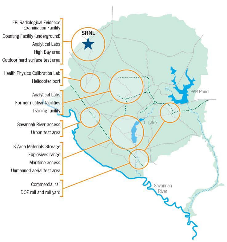
Geography
- 310 square miles (forested canopy/open areas/swamp land)
- Federally protected 1,500-acre dedicated outdoor test area
- Two lakes (2,500 and 1000 acres) up to 70’ depth
- Humid subtropical climate
Infrastructure
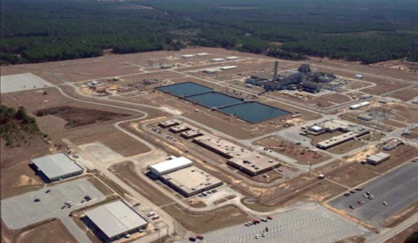
- Numerous radiological and clean research labs and buildings
- Legacy buildings, power lines, other infrastructure, roads
- Wide variety of sealed and high-dose radioactive sources
- Government rail system
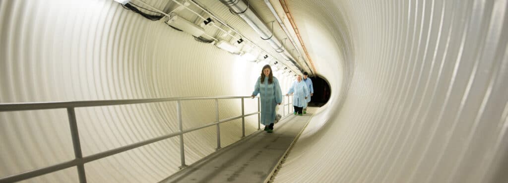
- Underground tunnels/facilities
- Medium voltage test bed
Decommissioned Reactor Range
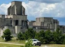
Entombed Reactor
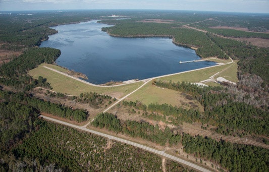
L Lake – 1,000 Acres/70’ Depth
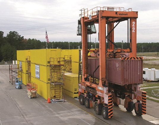
On-dock Rail System
Cybersecurity
- RF Spectrum Test Facility
- ICS/SCADA modeling lab
- Electric grid vulnerability lab
- Electronic Warfare (Future)
- Cyber wireless test and evaluation (Future)
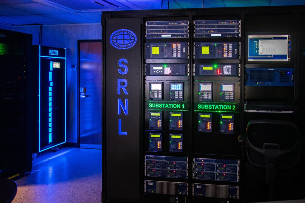
SRNL Cybersecurity Lab
Positioning, Navigation and Timing (PNT) Architecture
- Live-sky conventional threat (CT) and emergency threat (ET) test environments for fixed and mobile platforms
- Resilient navigation and timing solutions that are not solely dependent on GPS
UAS/C-UAS
- FCC Experimental Station License
- Rural operations and separation from controlled airspace
- 2,500’ x 50’ paved runway (partially complete – 1000’ x 50’ paved)
- FAA Special Use Airspace: National Security Area (can be restricted under 14CFR 99.7)
- Near-sea level density altitude
- Beyond Visual Line of Sight flight operations
- FAA Certified Pilots
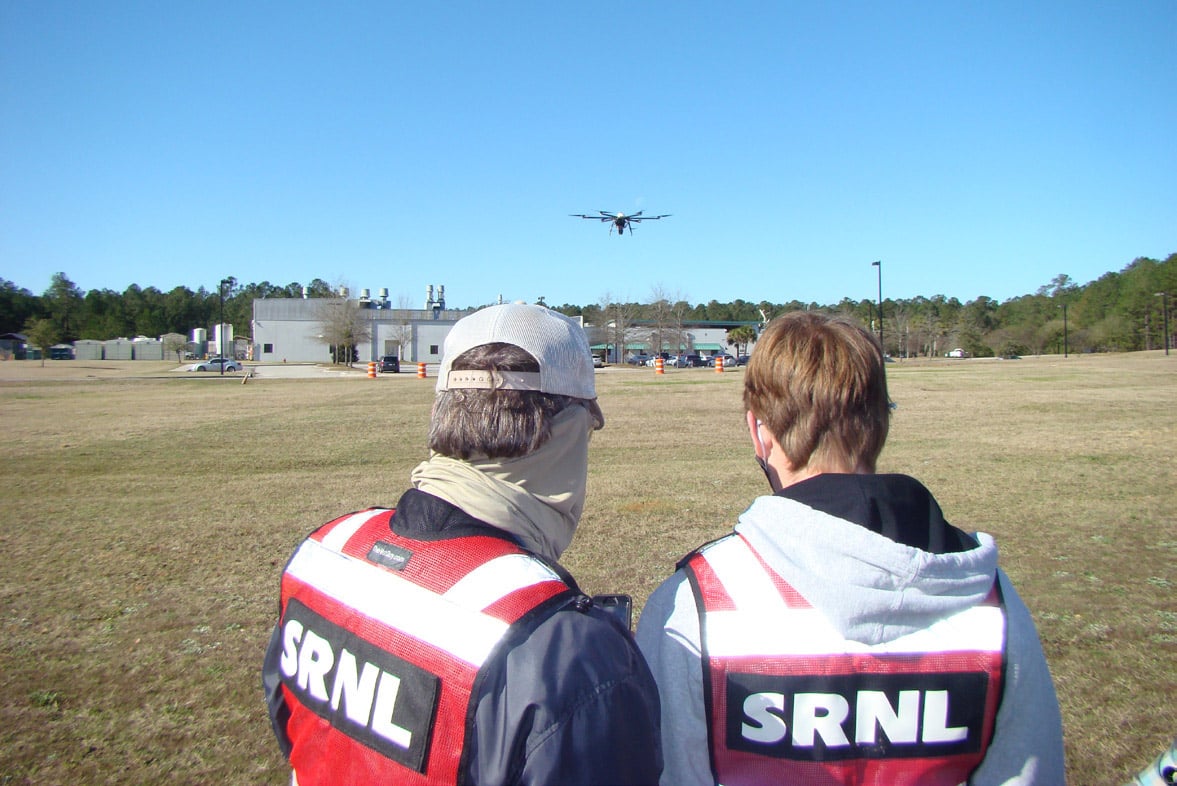
SRNL UAS Team Members During Field Test
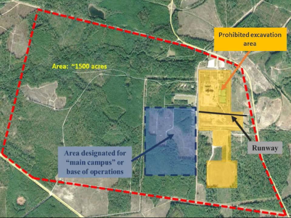
UAS Range Build-out
Training and Exercises
- CBRNE/CWMD detection materials and detector benchmarking
- Radiological material handling and packaging training
- 15 years of experience executing field exercises for U.S. government entities
- 24/7 exercise support utilizing above capabilities
Underground Counting Facility
Download Fact Sheet
Contact Information
Ethan Farquhar
Phone: 803-645-8420
Email: ethan.farquhar@srnl.doe.gov